


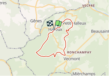

8,8 km | 11,5 km-effort


Tous les sentiers balisés d’Europe GUIDE+


Gratisgps-wandelapplicatie
 SityTrail
IGN / Geografische instituten
SityTrail World
De wereld gaat voor u open
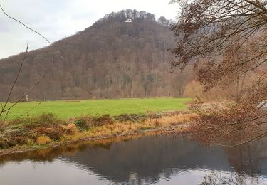
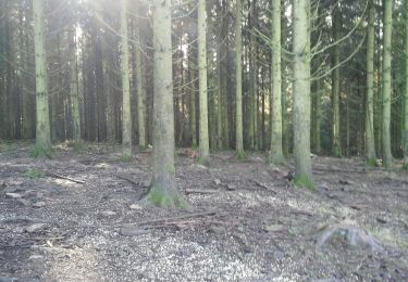
Tocht Te voet van 11,1 km beschikbaar op Wallonië, Luxemburg, La Roche-en-Ardenne. Deze tocht wordt voorgesteld door SityTrail - itinéraires balisés pédestres.
Trail created by Syndicat d'Initiative de La Roche-en-Ardenne.

Stappen
Te voet
Te voet
Mountainbike

Stappen
Stappen
Stappen

Stappen
Stappen
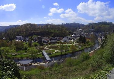
magnifique. a faire en toutes saisons